DIRECTIVE 01
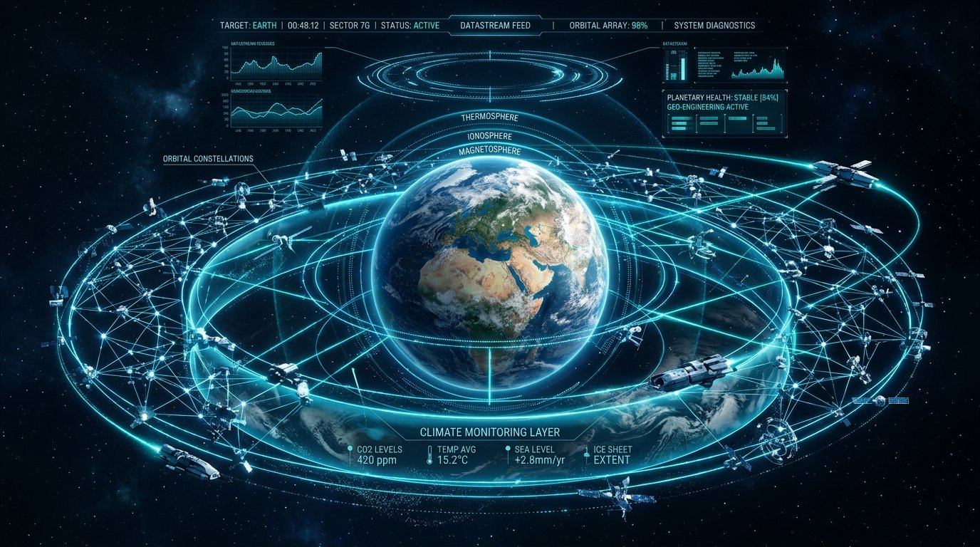
Planetary Climate & Ecosystem Shield
Equipped with greenhouse gas spectrometers and thermal infrared sensors, our constellation maps methane plumes, deforestation rates, oceanic heatwaves, and glacier melt with 10-meter accuracy in real time.
- Sub-hourly methane & CO2 leak detection
- Wildfire prediction & automated firefighter alerts
- Ocean acidification & coral bleaching tracking
AI DETECTION INDEX:
99.8% PRECISION